Urban planning model It is the product of the popularization of urban planning. We know that the main purpose of urban planning is to show the future development of the city and the layout of the city Planning model The purpose of the project is to help urban planning planners to show their design concepts, comprehensive departments and bureaus and other aspects.
Urban planning involves a wide range, usually a certain area or a city, so its model proportion is smaller than other models. The following figure shows the planning model of the core area of Zhuhai Golden Bay Airport City produced by the Grand Canyon Model Making Company. The sand table model scale is 1:350; The model size is 9.3 * 6.3m. The planning model is the epitome of urban planning. The overall sand table model involves Building model 、 Landscape model and Business model Production of. From this, we can conclude several characteristics of the planning model:
1. The model scale is small. Generally speaking, the makers of planning model projects are usually government departments, and the models involve a wide range, such as urban planning models, which are designed to show the changes of urban development and the grand blueprint of the future. It is precisely because of its large actual area that the planning map of the whole city can be displayed in all aspects only when the scale is appropriately reduced. Otherwise, it will become a "Big Mac" sand table model, affecting the aesthetic and visiting effect, and it is difficult for ordinary exhibition halls to accommodate too large a sand table model.
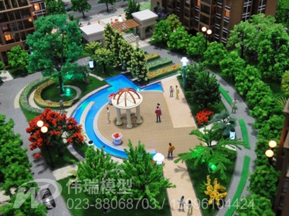
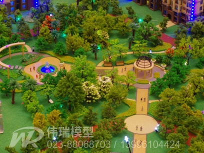
2. There are many kinds of models. Urban planning inevitably involves construction, commerce, landscape and other forms of business. Therefore, planning model production is often a summary of other types of model production. The difference is that the planning model does not need to describe every detail in detail, and simple and beautiful production is often preferred.
3. The proportion is precise and accurate. The planning model is to show the whole of the urban planning, including the garden landscape, traffic network, etc. Only the accurate proportion can truly reflect the actual situation of the project, and reflect the rationality of the urban layout and future development.